
Great Lakes Center Conducts Sampling of Lower Niagara River
Remote sensing plays an important role in our everyday life. It’s used in GPS navigation, air traffic control, and observing large-scale algae blooms in the Great Lakes. But how can remote sensing be applied to understanding the benthic (organisms living in the bottom of a body of water) invertebrate community distribution in the Niagara River?
To answer this question, scientists from Buffalo State's Great Lakes Center received a three-year grant from the Ecological Greenway Fund to study the benthic invertebrate community composition in the lower Niagara River. Using side-scan sonar images obtained from the U.S. Fish and Wildlife Service together with video and sediment data, different types of bottom substrates were classified to create benthic habitat maps for the entire lower Niagara River.
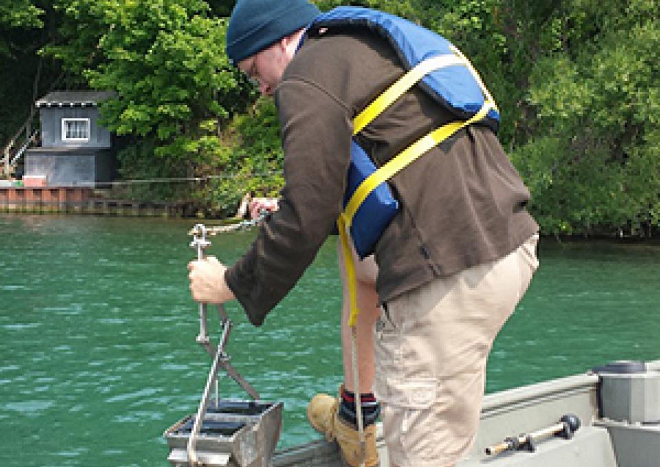
Then, benthic samples from each substrate were taken to assess the diversity and structure of the benthic invertebrate community. The results of this study will help to assess valuable habitats for conservation and identify critical habitats as feeding grounds for higher trophic levels. For instance, the occurrence of threatened lake sturgeon (Acipenser fulvescens) in some parts of lower Niagara River might be related to more abundant food resources in these areas.
In total, 257 sites were chosen along the lower Niagara River based on the habitat map and sampled throughout July and August with 124 benthic samples obtained. Additionally, 80 videos were taken and analyzed to describe the substrate in areas which could not be sampled due to strong currents or rocky substrates. Sixty sediment samples were taken to determine the grain size distribution and the organic matter content of the substrate as both variables effect the invertebrate community.
“It’s a great study for two reasons,” says Knut Mehler, research scientist at the Great Lakes Center. “First, it uses an interdisciplinary approach that draws from many different fields and, second, it proves that remote sensing can be an important tool in benthic ecology.”